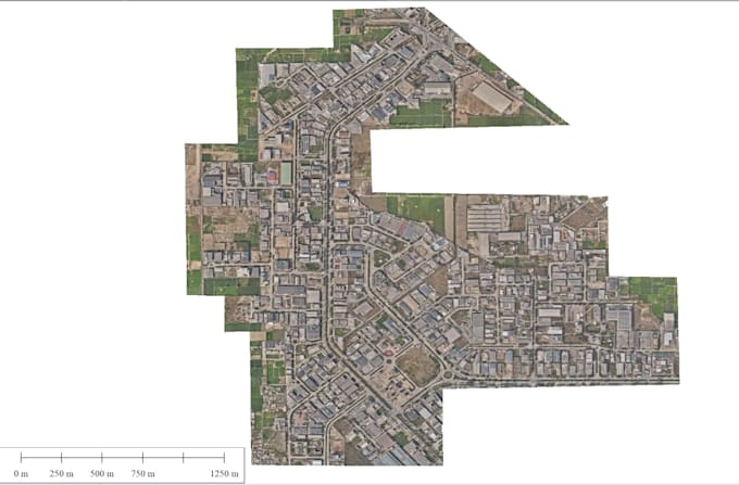
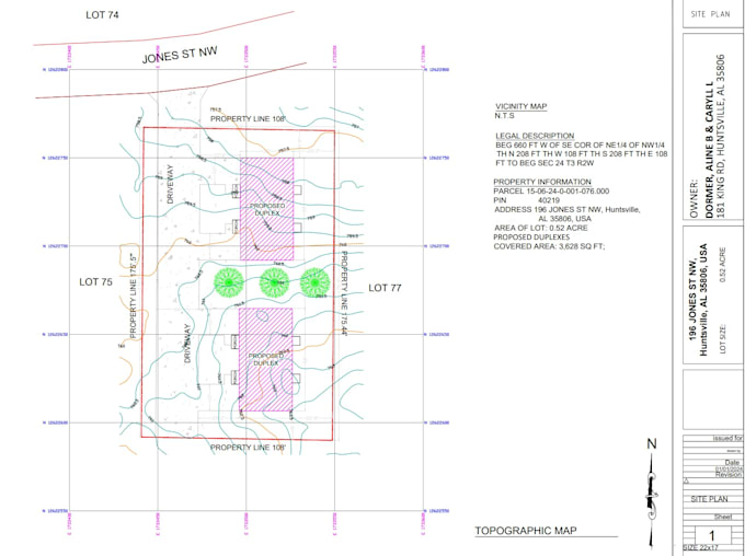
I’m Abdul Rehman, a Geoinformatics Engineer and GIS Specialist with expertise in UAV/Drone Mapping, Photogrammetry, LiDAR, Remote Sensing, Topographic Surveying, GIS, CAD, WebGIS, and Satellite Data Processing. I work with ArcGIS, QGIS, Civil 3D, AutoCAD, Agisoft Metashape, Pix4D, Global Mapper, Google Earth Engine, CloudCompare, and Python. I create accurate orthomosaics, DSM/DTM, point clouds, contours, 3D models, topographic maps, GIS dashboards, WebGIS applications, and spatial analysis solutions.... Continua a leggere