Alcune informazioni sono riportate in lingua inglese.
Chi sono
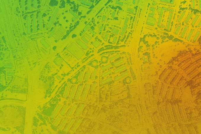
Hello, I am Professor Adnan, a GIS expert with extensive experience in geographic information systems and spatial analysis. With over five years of hands-on expertise, I specialize in providing high-quality GIS solutions, including mapping, spatial data analysis, and geospatial modeling. Whether you need assistance with GIS projects, data interpretation, or cartographic visualization, I am dedicated to delivering accurate, timely, and insightful results. My approach combines thorough research, effective communication, and a commitment to understanding your unique needs.... Continua a leggere