a
akhil_is_on

Akhil A

@akhil_is_on
4,7(1)

GIS analyst and specialist

India
Inglese, Hindi, Malayalam, Tamil
Alcune informazioni sono riportate in lingua inglese.
Chi sono
Hi, I’m Akhil — a Geospatial Analyst and Remote Sensing Specialist skilled in transforming spatial data into actionable insights. Linkedin : https://www.linkedin.com/in/akhil8848/ Website : https://akhil-geo.netlify.app/... Continua a leggere

Competenze

a
akhil_is_on
Akhil A
offline • 
Tempo di risposta medio: 1 ora

Consulta i miei servizi

Geographic Information Systems (GIS)
I will create landslide susceptibility maps and debris flow models
4,7(1)
Geographic Information Systems (GIS)
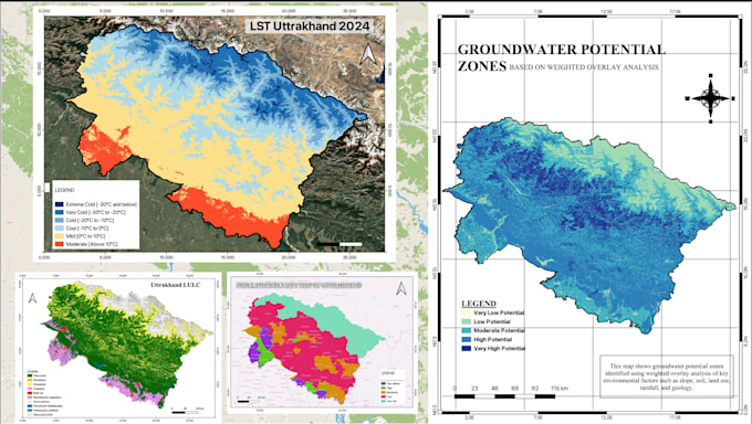
I will create all classification and temporal change detection maps

Esperienza lavorativa

Pioneer_Foundation Engineers Pvt

GIS Consulting and Landslide

Pioneer Foundation Engineers Pvt

Jun 2026 - Present • 5 mos

Contributing to World Bank-funded landslide hazard assessment; LiDAR processing & terrain analysis for engineering applications • Developing Python workflows for automated geospatial data processing & hazard modeling

Banaras_Hindu University

Geospatial Analyst

Banaras Hindu University

Nov 2024 - Dec 2025 • 1 yr 1 mo

Multi-temporal environmental analysis; developed landslide inventory for Uttarakhand via DEM differencing • Generated technical maps & geospatial datasets for research applications

1 Recensioni
4,7

(1)
(0)
(0)
(0)
(0)
Valutazione dettagliata
  • Livello di comunicazione del venditore
    5
  • Qualità della consegna
    5
  • Valore della consegna
    4
1-1 di 1 recensioni
Ordina per
Più rilevante
    H

    hsheld

    US

    Stati Uniti

    4,7

    I had a great experience working with Akhil. The quality of his work was excellent, and he delivered professional, detailed, and polished maps. He was very responsive, polite, and maintained clear communication throughout the project. Akhil was always ready to help and made the entire process smooth...

    100 USD-200 USD

    $

    7 giorni

    Tempo

    gig

    Geographic Information Systems (GIS)

    Immagine del campione di lavoro
    Utile?
    Sì
    No