Alcune informazioni sono riportate in lingua inglese.
Chi sono
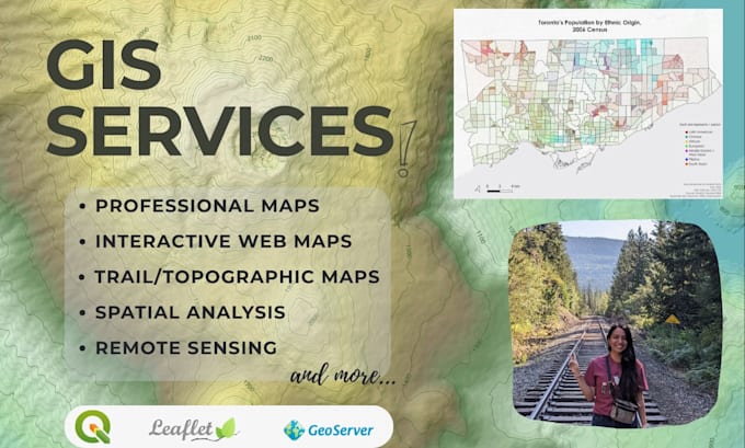
I’m a Junior GIS Technician and Cartographer skilled in QGIS and other open-source geospatial tools, with training in ArcGIS Pro and ArcGIS Online. Although I am familiar with Esri products, I use QGIS and open-source data for all commercial projects to ensure license compliance.
I create precise, accurate, and visually appealing maps, perform spatial analysis, and build interactive web maps using Leaflet, JavaScript, HTML, CSS, GeoServer and other open-source tools.
With experience in environmental research, I can deliver professional maps and analyses tailored to your project needs.... Continua a leggere