Alcune informazioni sono riportate in lingua inglese.
Chi sono
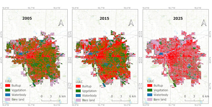
Hi! I'm Sajib, a GIS and Remote Sensing Analyst specializing in spatial analysis, satellite image processing, environmental mapping, and geospatial research. I work with ArcGIS Pro, QGIS, Google Earth Engine, and Python. My expertise includes GIS mapping, LULC classification, terrain analysis, flood and coastal vulnerability mapping, AHP-MCDA, and spatial machine learning using Random Forest, XGBoost, and SHAP. I deliver accurate, clear, and professional geospatial outputs tailored to your project needs.... Continua a leggere