Alcune informazioni sono riportate in lingua inglese.
Chi sono
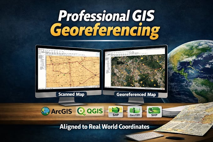
Introducing expert georeferencing and digitization services by Antony . Specializing in accurate geospatial data solutions, I offer seamless integration of maps, satellite images, and analog data into digital formats. With meticulous attention to detail, I ensure precision in georeferencing and efficient conversion of paper-based information. Whether it's data cleanup, enhancement, or quality assurance checks, I provide tailored solutions to meet your project needs. Let's elevate your geospatial projects together ,reach out today to get started!
... Continua a leggere