a
ashanov98

Ali Shan

@ashanov98

Remote Sensing and GIS Expert, Geospatial Data Scientist, Python and GEE

Pakistan
Inglese, Urdu
Alcune informazioni sono riportate in lingua inglese.
Chi sono
I am a Geospatial Analyst with an MS in Remote Sensing & GIS from NUST. With 4+ years of experience at the National Agriculture Research Council and The Map Ventures, I transform raw data into actionable spatial intelligence. I specialize in Satellite Imagery (LULC, NDVI), GEE automation, and high-precision mapping. Whether it’s Python-based GIS workflows, UAV orthomosaics, or complex terrain modeling, I deliver publication-ready results. My goal is to bridge the gap between scientific rigor and practical solutions. Let’s unlock the power of your spatial data. Message me today!... Continua a leggere

Competenze

a
ashanov98
Ali Shan
offline • 

Consulta i miei servizi

Geographic Information Systems (GIS)
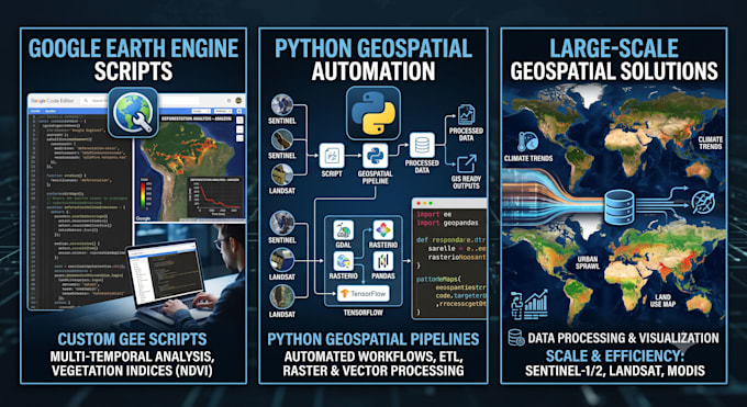
I will do google earth engine analysis and python gis automation
Geographic Information Systems (GIS)
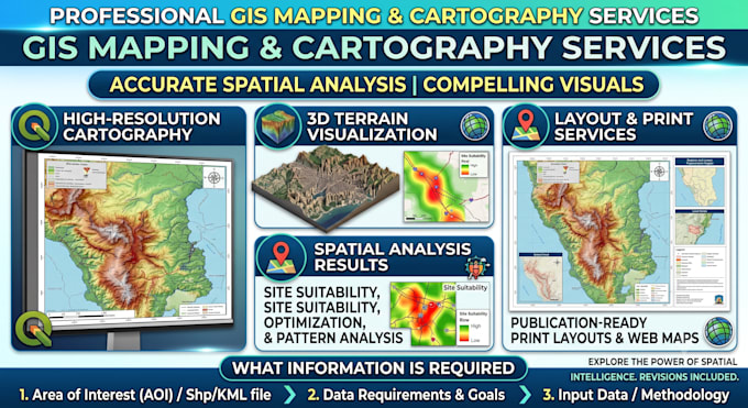
I will do gis mapping, cartography and spatial analysis

Portfolio

Esperienza lavorativa

Upwork

Geospatial analyst

Upwork • Freelance

Jun 2025 - Present1 yr 2 mos

Provided end-to-end geospatial intelligence, satellite remote sensing, and custom GIS solutions for global client projects. Developed automated Python and Google Earth Engine (GEE) workflows for multi-spectral imagery processing, surface modeling, and environmental analysis. Conducted advanced spatial modeling, including 3D terrain analysis, slope/aspect calculations, and hydrological risk mapping. Processed drone orthomosaics and high-resolution LiDAR dataset to generate detailed DSM/DTM surfaces and topographic outputs. Authored clean technical documentation and delivered publication-ready cartographic products.