Sfoglia categorie
Esplora
Fiverr Pro
Italiano
$
USD


WELCOME TO MY VECTOR MAP & CARTOGRAPHIC ILLUSTRATION GIG!
I create custom vector maps, cartographic illustrations, and AutoCAD drawings tailored to your exact requirements, combining accuracy with clean, professional design.
WHAT I CAN CREATE FOR YOU:
WHY CHOOSE MY GIG:
!!Message me before ordering with your project details (location, purpose, required file formats, and scale) so I can recommend the right package!
Informa il freelance di eventuali preferenze o preoccupazioni relative all'uso di strumenti di IA nel completamento e/o nella consegna dell'ordine.
Map Designer Illustrator
Lingue
What information do you need to start a map or site plan?
A Google Maps link, GPS coordinates, an existing survey/site plan, or even a rough hand sketch with key measurements or landmarks.
Can you convert a hand-drawn or scanned plan into AutoCAD (DWG/DXF)?
Yes — I can trace and redraw scanned or hand-drawn plans into clean, scaled AutoCAD files.
Do you do fantasy maps or storybook/illustrated maps, not just technical plans?
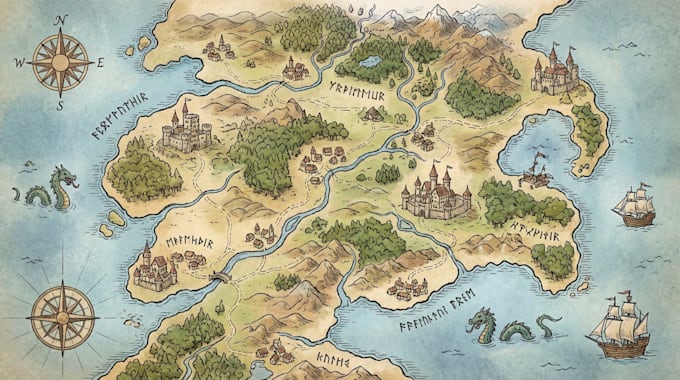
Yes, I do both — technical/accurate cartography (AutoCAD, GIS-based) and stylized illustrated maps (fantasy, city, tourist, book maps).
What file formats can you deliver?
AI, EPS, SVG, PDF, DWG, DXF, JPG, and PNG — let me know which formats you need before ordering.
Is the map/drawing to scale?
Yes, for AutoCAD and technical site plans I work to accurate scale based on your provided measurements or GPS data. Illustrated/stylized maps can be scale-accurate or artistic depending on your preference.
Can you use this for permits, construction, or legal submissions?
I can produce accurate technical drawings, but for anything requiring official stamped/certified survey documents, you'll need a licensed surveyor to review and certify the final file.