Alcune informazioni sono riportate in lingua inglese.
Chi sono
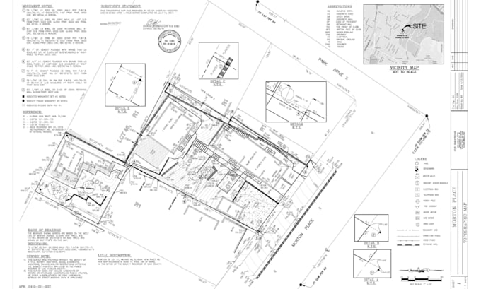
I specialize in professional land survey drafting, site plans, topographic drawings, grading plans, boundary layouts, and survey data conversion. Using AutoCAD and Civil 3D, I turn field notes, coordinates, sketches, PDFs, and existing plans into clear, accurate, and well-organized drawings. My goal is to help you save time, reduce confusion, and present your project with confidence by delivering drawings that are easy to review, understand, and use for planning, design, construction, or client presentation.... Continua a leggere