Sfoglia categorie
Esplora
Fiverr Pro
Italiano
$
USD



I provide spatial analyses and high quality maps using open-source GIS software, like QGIS, SNAP, TerraView and your plugins. With access to free databases or your own spatial data, I can do:
· Image radiometric correction;
· Image georeferencing;
· Image contrast stretching;
· RGB composition;
· GPS and geoprocessing tools;
· Manipulate attribute tables and metric calculation;
· Raster calculation for vegetation index, like NDVI, EVI, SAVI, NBR and others;
· Hydrological Basin delimitation;
· Automatic and Semi-automatic Classification by machine learning algorithms;
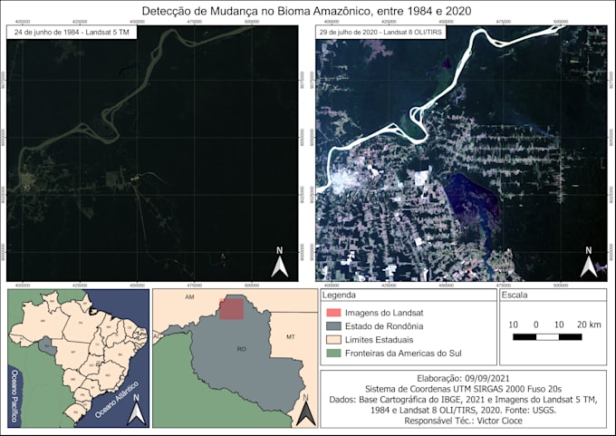
· Change detection images;
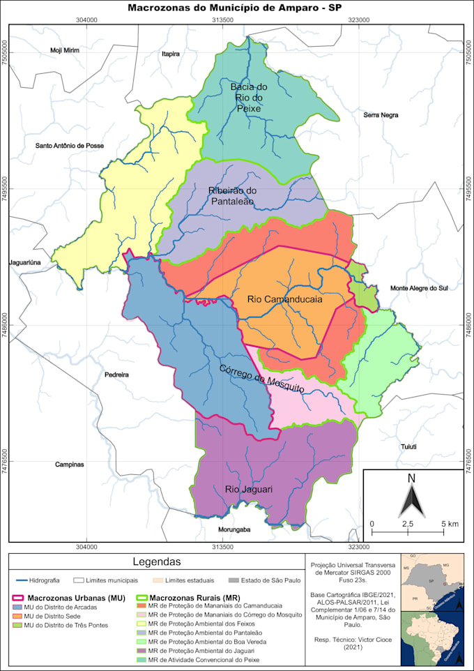
· Thematic maps production: Categorized, Graduated and Rule-based;
· .pdf, .jpeg, .png and .svg format for maps.
For more features, please contact me to discuss all possibilities to attempt you necessities. Thanks!
Lingue