Alcune informazioni sono riportate in lingua inglese.
Chi sono
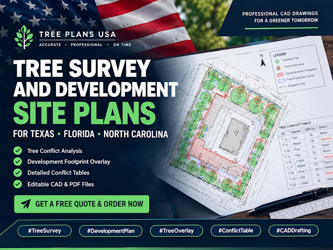
I help land surveyors, arborists, and engineers turn field data into clean CAD drawings.
After measuring trunks and gathering coordinates, you end up with messy spreadsheets or rough sketches. I take that data and map it out cleanly into layered DWG and PDF files. I draw tree surveys, overlay building footprints to catch conflicts, layout protection fencing for city permits, and draft planting schedules.
I follow local guidelines for Texas, Georgia, Florida, and California. I am a technical draftsman, not a licensed arborist; I accurately draw the exact data you provide.... Continua a leggere