Alcune informazioni sono riportate in lingua inglese.
Chi sono
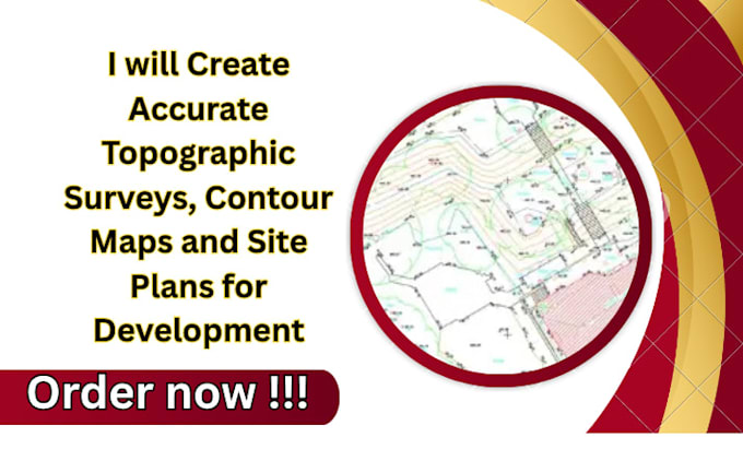
Professional Land Surveying and Mapping Specialist providing accurate topographic surveys, boundary surveys, ALTA surveys, drone mapping, LiDAR processing, GIS analysis, and civil engineering support. Experienced in creating survey-grade maps, contour plans, orthomosaics, DEMs, DTMs, point clouds, volume calculations, and CAD deliverables. Proficient in AutoCAD Civil 3D, ArcGIS, Pix4D, and Global Mapper. Delivering reliable, permit-ready solutions for land development, construction, infrastructure, and site planning projects with precision and efficiency.... Continua a leggere