Sfoglia categorie
Esplora
Fiverr Pro
Italiano
$
USD


Traduzione automatica.
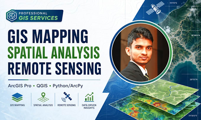
⭐ Mappatura GIS | Telerilevamento | Analisi Spaziale | Modellazione Ambientale
Ciao, sono Sujeewaa, specialista in GIS e telerilevamento, offro soluzioni geospaziali professionali utilizzando ArcGIS Pro, QGIS, Python/ArcPy, DEM e immagini satellitari.
⭐ Servizi che offro
⭐ Esperienza nei progetti
Delimitazione delle acque, valutazione di erosione e sedimenti, modellazione ambientale, analisi dell'uso del suolo, database spaziali e flussi di lavoro GIS personalizzati.
⭐ Perché scegliere il mio servizio?
Analisi accurata Mappe professionali Output modificabili Comunicazione chiara Consegna affidabile
Hai bisogno di una soluzione GIS personalizzata?
Contattami prima di ordinare per discutere i tuoi dati, l'ambito del progetto, i risultati richiesti e il pacchetto più adatto.
Cordiali saluti,
Sujeewa
Specialista in GIS e Telerilevamento
GIS and Remote Sensing Specialist in Spatial and Environmental Modeling
Lingue
Traduzione automatica.
Traduzione automatica.
1. Quale software GIS usi?
Lavoro principalmente con ArcGIS Pro e QGIS. A seconda del progetto, utilizzo anche Python/ArcPy, Google Earth, immagini satellitari e altri strumenti geospaziali. Scelgo il software in base all'analisi richiesta e ai deliverable finali.
2. Quali informazioni devo fornire prima di iniziare il progetto?
Fornisci l'obiettivo del progetto, l'area di studio, i dati GIS disponibili, i output preferiti, il sistema di coordinate se conosciuto, la dimensione/formato della mappa richiesta e eventuali mappe di riferimento o metodologia da seguire.
3. Puoi lavorare con shapefile, GeoJSON, KML, raster, DEM, CSV e dati GPS?
Sì. Lavoro con formati GIS comuni tra cui SHP, GeoJSON, KML/KMZ, GeoTIFF, DEM, CSV, Excel, coordinate GPS, geodatabase e altri dataset spaziali.
4. Fornisci modellazioni di bacini idrografici, idrologiche o ambientali?
Sì. Posso supportare la delimitazione dei bacini, analisi del terreno e del drenaggio, modellazione dell'erosione del suolo RUSLE, analisi SDR di InVEST e workflow GIS relativi a SWAT/SWAT+.
5. Riceverò file GIS modificabili?
Sì, se incluso nell'ambito concordato. Posso fornire dataset GIS modificabili, file di progetto, shapefile, geodatabase, output raster e mappe ad alta risoluzione secondo necessità.
Devo contattarti prima di ordinare?
Sì, soprattutto per analisi spaziali, telerilevamento, modellazione o progetti GIS complessi. Contattami prima così posso rivedere i tuoi dati, requisiti, output attesi e consigliarti il pacchetto o l'offerta personalizzata corretta.
| (1) | ||
| (0) | ||
| (0) | ||
| (0) | ||
| (0) |

asankaem

Sri Lanka
Excellent worker, Highly recommended. Fast and accurate
50 USD
Prezzo
| (1) | ||
| (0) | ||
| (0) | ||
| (0) | ||
| (0) |
asankaem
Sri Lanka
Excellent worker, Highly recommended. Fast and accurate
50 USD
Prezzo