Alcune informazioni sono riportate in lingua inglese.
Chi sono
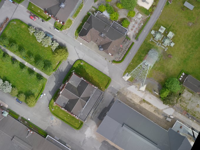
I’m a remote sensing and GIS specialist with an MSc in Geoinformation Science and more than two years of experience in environmental, geological and geospatial projects. I turn satellite and drone data into clear, professional maps, interactive webmaps and automated Python reports. I work confidently with QGIS, Google Earth Engine, Python, and advanced data visualization tools. Based in Europe, I provide services in English and Spanish and can also support clients in French and Dutch.... Continua a leggere