Turning LiDAR, Drone and Point Cloud Data into Accurate 2D and 3D Models
Colombia
Inglese, Francese, Spagnolo, Tedesco
Alcune informazioni sono riportate in lingua inglese.
Chi sono
Welcome here!
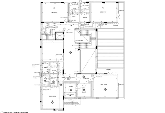
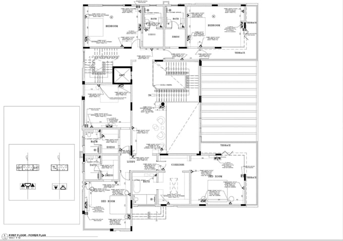
I provide professional CAD drafting, point cloud processing, 3D modeling, and terrain mapping services for architects, engineers, surveyors, contractors, and property professionals. I specialize in converting LiDAR scans, laser scans, drone imagery, and point cloud data into accurate construction drawings, HVAC layouts, 3D terrain models, DEM/DTM/DHM, and STL files.
I focus on accuracy, clean deliverables, fast communication, and practical results. Whether you need existing conditions documented or complex terrain transformed into a usable digital model, I’m ready to help.... Continua a leggere