Sfoglia categorie
Esplora
Fiverr Pro
Italiano
$
USD


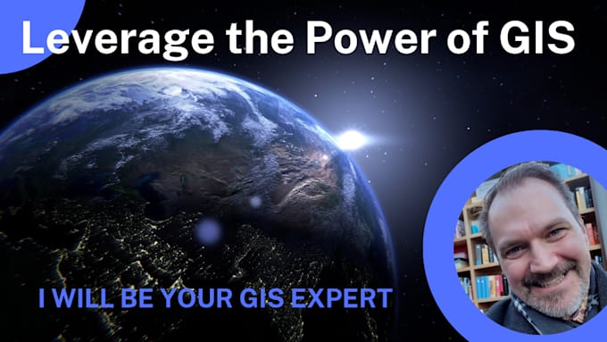
Need help with gis maps, spatial data, or satellite imagery? I offer a range of geospatial services to meet your needs, from simple map creation to advanced analysis. I can help you visualize and understand your data! I use ArcGIS Pro, QGIS, and Google Earth Engine
Services:
Why choose me?
Contact me before ordering to discuss your project!
GIS Solutions for a Spatial World: Maps, Analysis, and More
Lingue
How do I get started with my map project?
Simply contact me with a description of your needs and the data you want to visualize. We'll discuss your project goals, map style preferences, and any specific requirements you have.
Can you create maps for specific industries or niche markets?
Absolutely! I can create maps for a wide range of industries, including real estate, business analysis, event planning, travel, environmental studies, and more. Just let me know your needs.
Can you assist with data collection and sourcing if I don't have the required data?
While my primary focus is map creation, I can offer basic guidance on data sources or potentially assist with data collection tasks for an additional fee. Contact me to discuss your data needs.
What file formats will I receive for the final maps?
You'll receive your map in your preferred format, including high-resolution JPG, PNG, or PDF, suitable for printing or online use.
Can you work with confidential or sensitive data?
Yes, I understand the importance of data confidentiality. I will handle your data with care and can sign a non-disclosure agreement if required.
Can you incorporate my branding elements into the maps?
Yes, I can! Provide me with your logo, color scheme, and any specific branding guidelines, and I'll integrate them seamlessly into your map design.
Do you offer discounts for bulk orders or long-term projects?
Definitely! If you have ongoing mapping needs or require multiple maps, contact me for a custom quote with discounted pricing.
Can I use the maps for commercial purposes?
Yes, you can use the maps I create for commercial purposes.
Can I request revisions to the maps?
Absolutely! I want you to be completely satisfied with your map. I offer 1 round of revisions for the basic package to ensure it meets your expectations.
What type of satellite imagery do you use?
I work with a variety of satellite data, including Landsat and Sentinel. I can also work with other datasets depending on your project needs. Contact me to discuss your specific requirements and data availability.
| (0) | ||
| (1) | ||
| (0) | ||
| (0) | ||
| (0) |
enduropromo

Canada
Project was completed in a timely manner with great insight and expertise given.
Fino a 50 USD
$
4 giorni
Tempo
| (0) | ||
| (1) | ||
| (0) | ||
| (0) | ||
| (0) |
enduropromo
Canada
Project was completed in a timely manner with great insight and expertise given.
Fino a 50 USD
$
4 giorni
Tempo