f
farhan_rafiq6

Farhan Rafiq

@farhan_rafiq6
5,0(1)

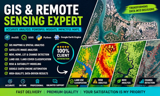
Geospatial Data Analyst

Bangladesh
Inglese
Alcune informazioni sono riportate in lingua inglese.
Chi sono
I am a GIS and Remote Sensing specialist with B.Sc. and M.Sc. degrees in Oceanography and over five years of experience delivering accurate, professional geospatial solutions. I work with ArcGIS, ArcGIS Pro, QGIS, and Python to create clear maps, spatial analyses, and decision-ready insights for urban planning, environmental studies, disaster risk mapping, and land-use analysis. I also provide advanced Excel solutions, including formulas, dashboards, and data automation, and I design modern, ATS-friendly CVs/resumes tailored to job requirements. I focus on precision, clarity, timely delivery.... Continua a leggere

Competenze

f
farhan_rafiq6
Farhan Rafiq
offline • 

Consulta i miei servizi

Geographic Information Systems (GIS)
I will do gis mapping, spatial analysis in arcgis pro, arcmap, qgis
5,0(1)
Formule e macro
I will be your custom excel spreadsheet and google sheets expert

Portfolio

1 Recensioni
5,0

(1)
(0)
(0)
(0)
(0)
Valutazione dettagliata
  • Livello di comunicazione del venditore
    5
  • Qualità della consegna
    5
  • Valore della consegna
    5
1-1 di 1 recensioni
Ordina per
Più rilevante
    F

    fatmah_latiff

    Cliente abituale

    GB

    Regno Unito

    5

    Great experience working with Farhan again! This is my second time, he helped me with TOPSIS before and now with fuzzy logic. He’s very cooperative, understands requirements well, and delivers quality work on time. Really happy with the results. Highly recommended!

    50 USD-100 USD

    $

    4 giorni

    Tempo

    gig

    Geographic Information Systems (GIS)

    Utile?
    No