Sfoglia categorie
Esplora
Fiverr Pro
Italiano
$
USD

GIS professional
Competenze
Consulta i miei servizi

GIS SPECILIAST
Kenya • Full time
May 2025 - Present • 1 yr 5 mos
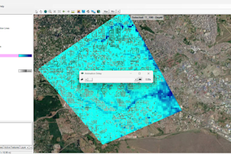
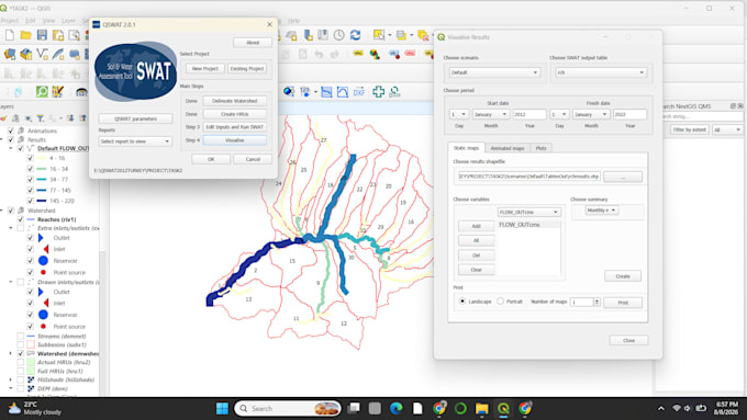
Manage and maintain enterprise geospatial datasets supporting land administration and lease management. Produce cadastral and thematic maps for infrastructure planning and decision-making. Conduct spatial analyses for property development and asset management. Integrate GIS into land information management and planning workflows. Collaborate with planners, surveyors, valuers and engineers to improve operational efficiency

Ministry of lands Kapsabet Nandi Kenya
Ministry • Full time
Jun 2023 - Sep 2023 • 3 mos
Supported the Department of Physical Planning and Land Administration in delivering geospatial solutions for land management, cadastral mapping and county spatial planning. Contributed to the Nandi County Spatial Plan by integrating spatial datasets, producing thematic maps and supporting planning workflows.
