h
haibinxiong

JackXiong

@haibinxiong

GIS, Remote Sensing Specialist, Spatial Analysis, WebGIS, Website Developer

Cina
Cinese, Inglese
Alcune informazioni sono riportate in lingua inglese.
Chi sono
I’m a first-year PhD student in Geographical Sciences at the University of Chinese Academy of Sciences (UCAS). I provide GIS, remote sensing, and web development services for researchers, businesses, and organizations. My expertise includes GIS mapping, spatial analysis, remote sensing image processing, cartography, geoprocessing, Python scripting, WebGIS, and website development. I use ArcGIS, QGIS, Python, and web mapping tools to deliver accurate, clear, and practical solutions. Let’s turn your data and ideas into useful digital products.... Continua a leggere

Competenze

h
haibinxiong
JackXiong
offline • 
Tempo di risposta medio: 1 ora

Consulta i miei servizi

Geographic Information Systems (GIS)
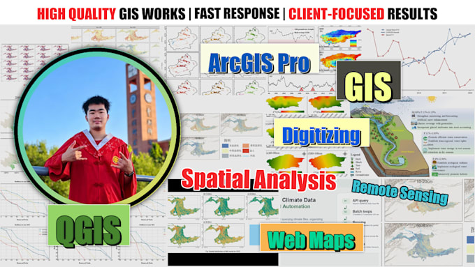
I will draw gis maps, remote sensing analysis and spatial data visuals

Portfolio

Esperienza lavorativa

NASA

GIS & Remote Sensing Specialist | Spatial Analysis | WebGIS | Website Developer

NASA • Full time

Aug 2023 - Present2 yrs 11 mos

Supported research projects conducted in collaboration between mentors and NASA, covering areas such as geographic information systems, remote sensing technology, and environmental spatial analysis. Specific responsibilities included geospatial data processing, satellite image interpretation, map creation, spatial analysis, automation of workflows using Python, as well as the visualization of research data. Additionally, tasks related to producing maps, charts, datasets, and technical documentation required for academic research projects were also undertaken.