Alcune informazioni sono riportate in lingua inglese.
Chi sono
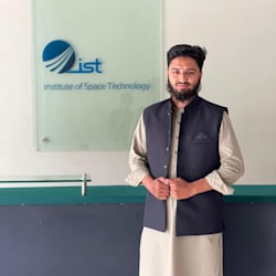
Hi! I’m a GIS Analyst & Remote Sensing Specialist from Pakistan.
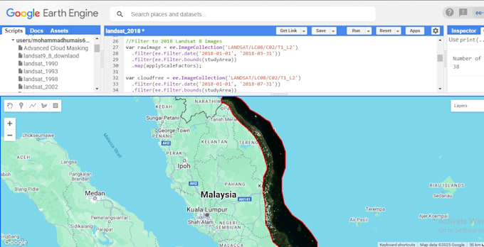
I turn raw satellite and spatial data into accurate, meaningful maps and insights. My expertise includes land cover mapping, NDVI analysis, change detection, and geospatial automation using ArcGIS, QGIS, Google Earth Engine, ENVI, and Python.
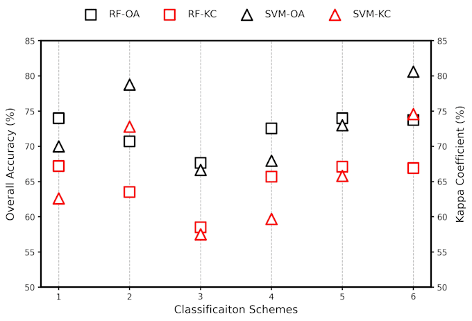
I’ve worked on projects involving Sentinel-1 & Sentinel-2 data fusion, crop classification (RF & SVM), and urban/environmental mapping.
Let’s collaborate to turn your spatial data into real-world insights ... Continua a leggere