Sfoglia categorie
Italiano
$
USD
Connettiti alla tua IA

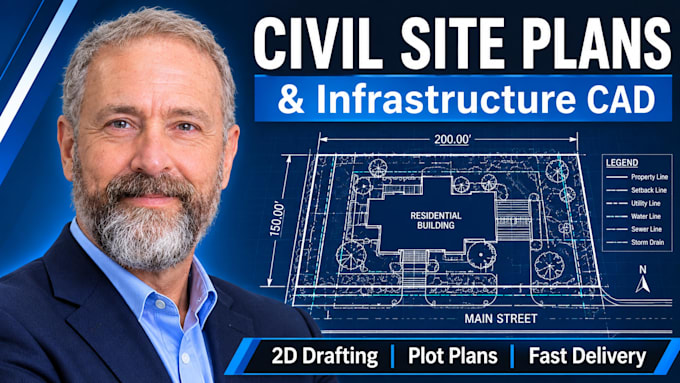

Looking for precise civil layouts or detailed property blueprints?
I provide expert civil site CAD drafting and infrastructure mapping services, transforming your sketches, satellite imagery, or survey data into professional, production-grade AutoCAD drawings.
My Core CAD Services Include:
Every drawing is executed with clean layering, exact scaling, and standard drafting protocols. I deliver sharp technical documentation tailored to your presentation needs.
Please Note: This is a professional drafting and CAD service based on client-provided data, engineering markups, or survey coordinates. I provide accurate CAD files (DWG/PDF).services.
Message me today to discuss your project layout requirements before placing your order!
Fiverr non seleziona freelance in questa categoria. Verifica le qualifiche e discuti dei requisiti con il freelance prima di effettuare l'ordine, incluse eventuali preferenze in merito all'uso di strumenti di IA.
Architectural And Civil CAD Specialist, Detail Layouts
Lingue
What do I need to start my civil site plan order?
Please provide your property survey, hand-drawn sketch, tax map, or satellite coordinates. Clear markups ensure an accurate civil site plan.
Will I receive the editable AutoCAD file?
Yes, standard and premium packages include the native AutoCAD DWG source file alongside the high-resolution PDF print-ready layout sheets
Can you modify an existing civil drafting file?
Absolutely. If you have an existing DWG or PDF layout that needs updates, message me the file first to check formatting and layer compatibility.
Can you handle large-scale infrastructure CAD projects?
Yes. For large infrastructure CAD properties or commercial developments over 1 acre, please message me for a custom layout quote.
Do you work with global formatting standards?
Yes. I format all civil drafting and infrastructure CAD layouts according to standard Imperial or Metric unit guidelines based on your location.
Can you map out complex utility lines?
Yes. If you provide the initial markups, sketches, or schematics, I will cleanly organize and draft them into layered utility and infrastructure layouts.
What file formats will I receive upon delivery?
You will receive print-ready PDFs and the fully layered native AutoCAD DWG source file, optimized for easy editing or future engineering reviews.
