Drone Mapping and LiDAR Expert Precision Geospatial Solutions
Colombia
Inglese, Spagnolo
Alcune informazioni sono riportate in lingua inglese.
Chi sono
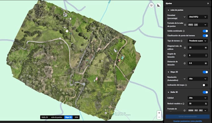
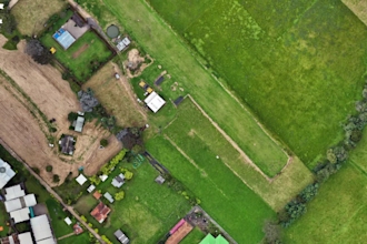
Hi! I'm Jesús, a certified drone pilot and geospatial specialist with over 5 years of experience in LiDAR data processing, drone mapping, and terrain modeling. I work with industrial-grade drones (DJI Matrice 350 RTK, Zenmuse L2/H20T) and advanced software to deliver high-precision results for forestry, infrastructure, archaeology, and environmental projects.
Let’s turn your LiDAR data into powerful visualizations and decision-ready deliverables.... Continua a leggere