Alcune informazioni sono riportate in lingua inglese.
Chi sono
Hi!
I'm an environmental science graduate with hands-on experience in GIS mapping, climate data visualization, and hazard risk mapping.
I use QGIS and Adobe Illustrator to produce clean, publication-quality maps from geospatial and climate data.
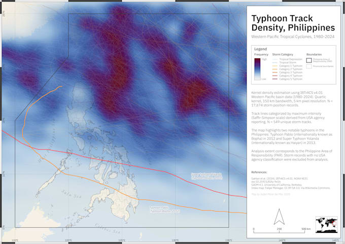
I can help with custom maps, rainfall and climate visualization, flood hazard maps, typhoon track maps, and terrain maps. Delivered as high-resolution PNG or PDF.
Find my GIS portfolio here: sites.google.com/view/jmcdelmar-maps... Continua a leggere