Keith Mwega

@lightgisdevelop
4,9(42)

Level 2

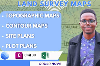
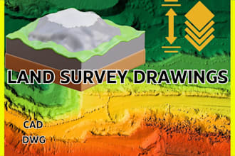
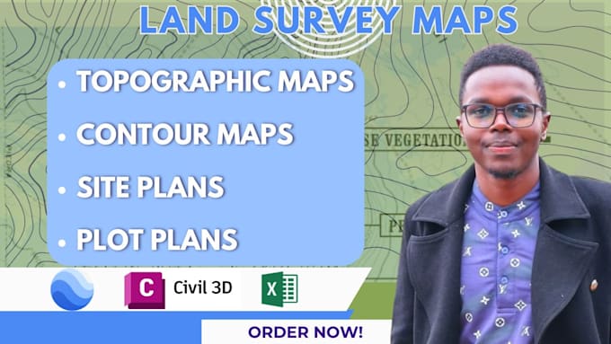
Land Survey, GIS, Architectural Drafting and Site Design

Kenya
Inglese, Swahili
Alcune informazioni sono riportate in lingua inglese.
Chi sono
🎓 BSc Geomatics Engineering & GIS | 3+ Years Experience Hi, I'm Keith—a Geomatics Engineer and GIS Specialist who has worked with clients across 10+ countries delivering accurate geospatial, mapping, and CAD solutions. 🗺️ Skills: GIS Mapping, Spatial Analysis, Topographic & Site Plans, Territory Mapping, Land Survey Mapping, CAD Drafting, 3D Modeling, Web Maps Software: ArcGIS Pro, QGIS, AutoCAD, Civil 3D, SketchUp, Revit, Rhino & AutoCAD Plant 3D. ⭐ I combine geospatial expertise with architectural design to deliver professional solutions with clear communication and on-time delivery.... Continua a leggere

Competenze

l
lightgisdevelop
Keith Mwega
30 USD/ora
offline • 
Tempo di risposta medio: 1 ora

Consulta i miei servizi

Disegno 2D e planimetrie
I will create topographic maps and site plans from point cloud, lidar or drone data
4,9(12)
Geographic Information Systems (GIS)
I will do google earth engine and gis analysis with python
4,9(6)

Vuoi lavorare su base oraria?

Spiega a Keith Mwega cosa ti serve.

30 USD

/

ora

Portfolio

Esperienza lavorativa

United_Nations

GIS Analyst

United Nations • Full time

Apr 2025 - Oct 20256 mos

• Designed and maintained GIS applications and spatial analysis workflows supporting operational planning and crisis monitoring. • Contributed to predictive modelling initiatives using geospatial datasets to identify trends and forecast crisis dynamics. • Supported system integration across multiple data sources for visualization and analysis in web-based GIS platforms. • Collaborated with developers and analysts through the full systems development lifecycle, from data ingestion to deployment. • Produced high-quality spatial products and dashboards for decision-makers across UN departments.

42 Recensioni
4,9

(39)
(2)
(1)
(0)
(0)
Valutazione dettagliata
  • Livello di comunicazione del venditore
    4,9
  • Qualità della consegna
    4,9
  • Valore della consegna
    4,9
1-5 di 42 recensioni
Ordina per
Più rilevante
    R

    rogerarias1992

    US

    Stati Uniti

    5

    Keith Mwega did an excellent job creating a topographic map for my residential property. He was very responsive throughout the entire process and communicated clearly every step of the way. The final map came out great and looked very professional. I requested a few adjustments after the first draft,...

    100 USD-200 USD

    $

    7 giorni

    Tempo

    gig

    Disegno 2D e planimetrie

    Utile?
    No
    B
    image-docs

    bnbowner

    Cliente abituale

    US

    Stati Uniti

    5

    Another great project. I'll see you on the next project.

    100 USD-200 USD

    $

    12 giorni

    Tempo

    gig

    Disegno 2D e Planimetrie

    Utile?
    No
    F

    fns_surveying

    GB

    Regno Unito

    5

    Great work completed, everything done as requested even with a couple of revisions. Couldn’t ask for more.

    600 USD-800 USD

    $

    9 giorni

    Tempo

    gig

    Disegno 2D e planimetrie

    Utile?
    No
    J

    jordansloan494

    Cliente abituale

    US

    Stati Uniti

    5

    great guy, very responsive, good communicator. Will certainly collaborate with him again.

    100 USD-200 USD

    $

    4 giorni

    Tempo

    gig

    Disegno 2D e Planimetrie

    Utile?
    No
    A

    alfmay1

    GB

    Regno Unito

    5

    Very professional, efficient service thank you

    100 USD-200 USD

    $

    3 giorni

    Tempo

    gig

    Geographic Information Systems (GIS)

    Utile?
    No