Alcune informazioni sono riportate in lingua inglese.
Chi sono
I am a GIS specialist with hands-on experience in ArcGIS Pro and
Google Earth Engine (GEE). I create custom maps, perform spatial
analysis, digitize and georeference data, and conduct remote sensing
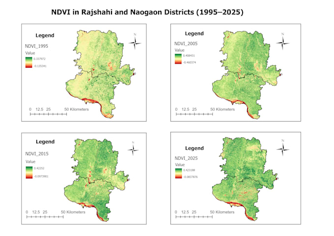
analysis including NDVI, land use/land cover classification, and
change detection.
I am detail-oriented, deliver accurate and clean work, and always
communicate clearly with clients to understand their exact needs.
Whether you need a simple location map or a full spatial analysis
report, I'm here to help.... Continua a leggere