Alcune informazioni sono riportate in lingua inglese.
Chi sono
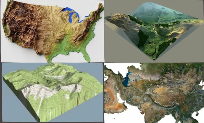
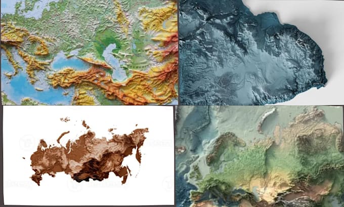
I am a passionate 3D Map Terrain Designer specializing in creating accurate, high-quality terrain models for 3D printing, visualization, games, architecture, engineering, and GIS applications. I transform real-world landscapes into detailed digital models using DEM, LiDAR, contour lines, satellite imagery, and elevation data.
My expertise includes creating custom terrain models in STL, OBJ, FBX, STEP, and other industry-standard formats for clients who need realistic mountains, valleys, coastlines, cities, national parks, and topographic landscapes.... Continua a leggere