Sfoglia categorie
Esplora
Fiverr Pro
Italiano
$
USD
Hai bisogno di classificazione LiDAR di alta qualità e modellazione del terreno per progetti di ingegneria o ambientali?
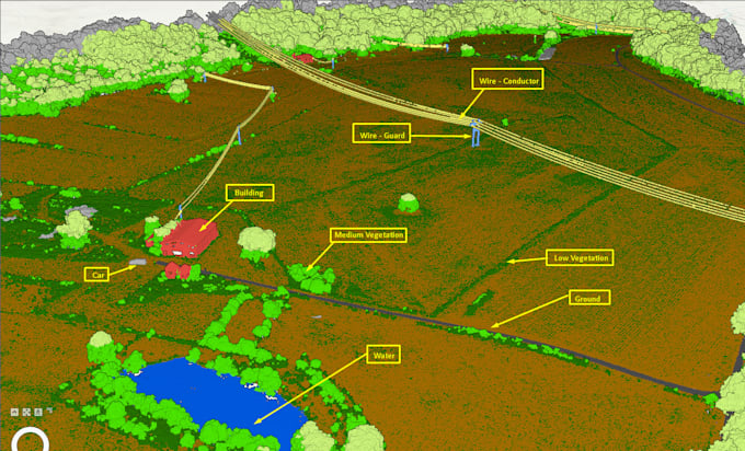
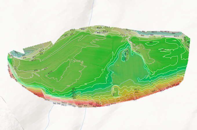
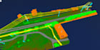
Offro elaborazione professionale di nuvole di punti LiDAR, trasformando dati grezzi .LAS/.LAZ in dataset classificati accurati e modelli di superficie (DEM, DSM) pronti per flussi di lavoro GIS, CAD o BIM.
Con oltre 5 anni di esperienza in dati UAV & LiDAR, fornisco risultati puliti e affidabili per mappature topografiche, analisi delle inondazioni, silvicoltura e progettazione di siti.
Cosa otterrai:
Software: TerraScan, LAStools, ArcGIS Pro, CloudCompare, Global Mapper
Traduzione automatica.
Quali formati di input accettate?
Posso elaborare dati LiDAR .LAS, .LAZ, .E57.
Quale schema di classificazione usi?
Seguo gli standard ASPRS LiDAR, identificando classi come terreno (2), vegetazione (3–5), edifici (6), rumore (7, 18) e altre se necessario.
Puoi gestire progetti di grandi dimensioni (ad esempio oltre 50 ha)?
Sì. Elaboro in tiles o batch e posso preparare un preventivo personalizzato per dataset di grandi dimensioni.
| (1) | ||
| (0) | ||
| (0) | ||
| (0) | ||
| (0) |
ajsurveying

Santa Lucia
Chung did an outstanding job, and I look forward to doing business with him again.
600 USD-800 USD
$
3 giorni
Tempo

Risposta del venditore
| (1) | ||
| (0) | ||
| (0) | ||
| (0) | ||
| (0) |
ajsurveying
Santa Lucia
Chung did an outstanding job, and I look forward to doing business with him again.
600 USD-800 USD
$
3 giorni
Tempo
Risposta del venditore