Sfoglia categorie
Italiano
$
USD
Connettiti alla tua IA

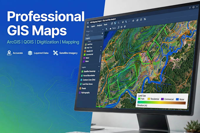
You are in the right place! I will create high-quality, accurate, and beautiful GIS maps for your project using ArcGIS and QGIS.
What I Offer:
GIS Map Making
Digitization & Geo-referencing
Shapefile, KML, KMZ Creation
Land Use / Land Cover (LULC) Mapping
Cadastral & Property Mapping
GPS / Survey Data Mapping
Google Earth Mapping
What You Will Get:
High-Resolution PDF + JPG Map
Source Files (Shapefile / QGIS Project)
Clean Layout with Legend, Scale & North Arrow
Fast Delivery & Friendly Support
I work for students, researchers, businesses, and real estate projects. Your data will be 100% safe and confidential.
Please message me before placing an order so we can discuss your project.
Thank You!
GIS Analyst
Lingue
