Sfoglia categorie
Esplora
Fiverr Pro
Italiano
$
USD
Level 1
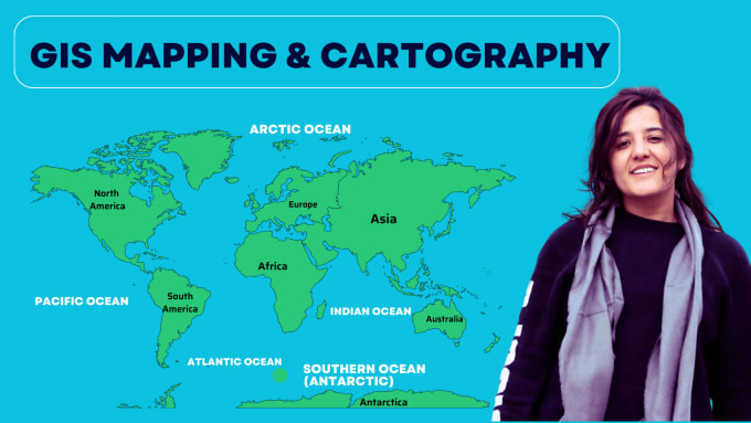
GIS Analyst, Mapping, Spatial Analysis and Data Visualization
Competenze
Consulta i miei servizi
Vuoi lavorare su base oraria?
Spiega a Nadia cosa ti serve.
10 USD
/
ora
Gis Analyst | Data Visualization expert
Fiverr • Freelance
Sep 2023 - Present • 3 yrs 1 mo
I am working as a GIS Analyst and Data Visualization Expert on Fiverr, providing GIS mapping, spatial analysis, remote sensing, and data visualization services. I have over 4 years of experience using ArcGIS Pro, ArcMap, QGIS, and Google Earth Pro to create accurate maps, analyze spatial data, and turn complex information into clear and meaningful visuals. I work with clients on projects related to land use, environmental management, urban planning, and agriculture.
Gis Analyst
theinnoventures.pvt.ltd • Full time
Dec 2023 - Sep 2024 • 9 mos
I worked as a GIS Analyst at Innoventures Pvt. Ltd., where I gained practical experience in Geographic Information Systems (GIS) and Remote Sensing (RS). During my time there, I worked on different GIS-based projects that involved analyzing spatial data, creating maps, and processing satellite imagery. I used GIS software such as QGIS to organize and visualize geographic data and support different types of analysis. Through this experience, I improved my skills in spatial data management, map creation, and satellite image interpretation. It also helped me understand how GIS can be used to solve real-world problems and support better decision-making in areas such as environmental analysis, planning, and mapping
| (18) | ||
| (1) | ||
| (0) | ||
| (1) | ||
| (2) |
sandrawagner106

Stati Uniti
very good job, professional and competent.
ivvvanguetler

Svizzera
mart_shut
Stati Uniti
amitatrey75

Canada
Was excellent to have her help and expertise\
chandrakalajoga

Regno Unito
Excellent work — very structured and well thought out. The analysis was clear, with precise zone refinement and logical prioritisation based on terrain and historical features. Deliverables were detailed and practical for real-world application. Highly recommend for GIS and archaeological mapping projects.