Alcune informazioni sono riportate in lingua inglese.
Chi sono
I am committed to delivering high-quality, precise, and timely results using industry-standard software and surveying practices. Whether you need topographic maps, terrain models, or volume computations.
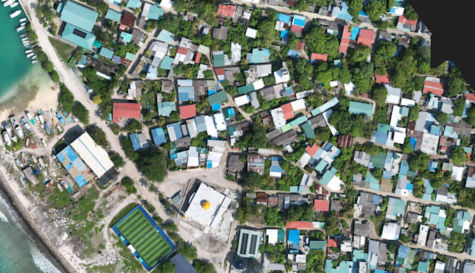
Photogrammetry and drone data processing
Topographic survey drawings and contour mapping
Earthwork volume calculations (cut and fill analysis)
Digital Terrain Models (DTM) and surface generation
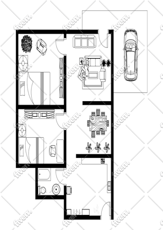
CAD drafting and survey plan preparation
Survey data processing
Accuracy, efficiency, and client satisfaction are my top priorities.... Continua a leggere