Sfoglia categorie
Esplora
Fiverr Pro
Italiano
$
USD

Environmental Analyst, QGIS, Remote Sensing and Mapping
Competenze
Consulta i miei servizi
Company
Full time • 4 yrs 4 mos
Research Fellow
Oct 2022 - Oct 2025 • 3 yrs
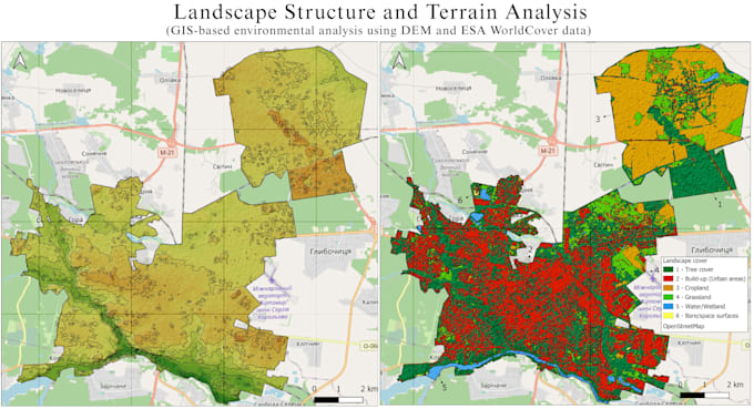
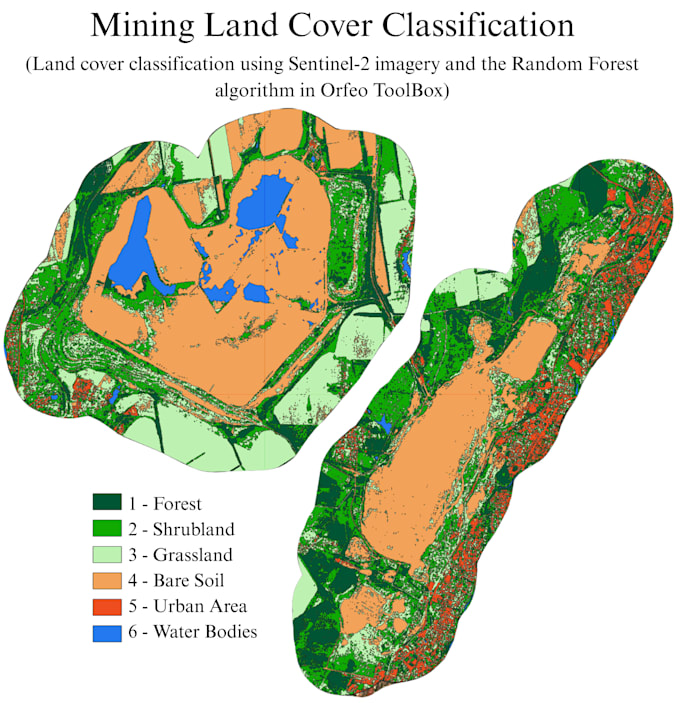
Conducted laboratory analysis of soil samples in accordance with project requirements. Researched the potential use of biochar for land reclamation and improving soil fertility in Ukraine and EU countries. Monitored soil and water conditions; processed satellite data; calculated and analysed environmental indices in QGIS; created maps. Coordinated academic mobility of students within the Erasmus+ programme and supported international scientific collaboration. Prepared scientific publications and presented research at international conferences (certificates available).
Ecologist engineer
Mar 2021 - Jul 2022 • 1 yr 4 mos
Developer of environmental documentation: - permit for emissions of pollutants; - permit for special water use; - documents in the field of waste management; - environmental impact assessment.
