Sfoglia categorie
Esplora
Fiverr Pro
Italiano
$
USD


Traduzione automatica.
Creerò mappe GIS professionali per analisi immobiliare
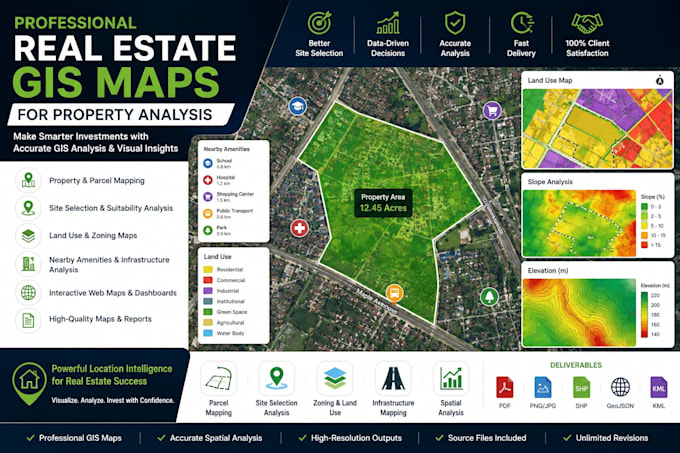
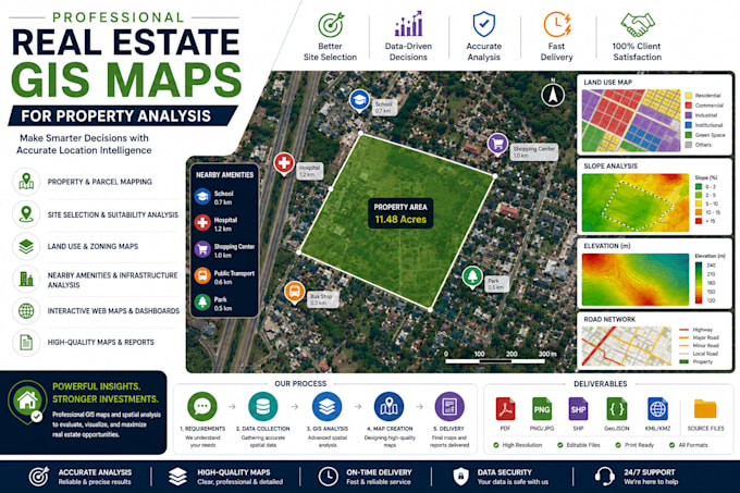
Sei un investitore immobiliare, sviluppatore, geometra o consulente immobiliare in cerca di mappe GIS professionali e intelligenza di localizzazione?
Sono specializzato nella creazione di mappe Real Estate GIS di alta qualità che aiutano i clienti a prendere decisioni informate su investimenti e sviluppo immobiliare attraverso analisi spaziali avanzate e mappe interattive.
I miei servizi includono
Perfetto per
Contattami prima di effettuare un ordine per discutere i requisiti del tuo progetto e assicurarti la soluzione migliore per le tue esigenze.
Oscar Dev
Lingue
Traduzione automatica.
Traduzione automatica.
1. Di quali informazioni ho bisogno per avviare il mio progetto?
Per favore, fornisci i requisiti del tuo progetto, la posizione della proprietà, i dati GIS o immobili disponibili e qualsiasi analisi o funzionalità di mappa specifica di cui hai bisogno. Se non hai i dati, posso aiutarti a identificare fonti di dati adatte.
Con quali formati di file puoi lavorare?
Supporto Shapefile (SHP), GeoJSON, KML/KMZ, GeoPackage, CSV, Excel, file CAD, database PostGIS e altri formati GIS comuni.
Quali tipi di mappe immobiliari puoi creare?
Posso creare mappe di parcelle, mappe dei confini delle proprietà, mappe di uso del suolo e zonizzazione, mappe di selezione del sito, mappe di analisi degli investimenti, mappe di accessibilità, mappe infrastrutturali e mappe web interattive.
Puoi analizzare servizi e infrastrutture nelle vicinanze?
Sì. Posso analizzare la vicinanza a scuole, ospedali, centri commerciali, strade, trasporti pubblici, utilities, parchi e altri punti di interesse per supportare la valutazione delle proprietà.
Fornisci mappe web interattive?
Sì. Posso sviluppare mappe GIS web interattive usando tecnologie come Leaflet, Mapbox e OpenLayers, permettendoti di esplorare e condividere i dati delle proprietà online.
Puoi eseguire analisi di idoneità del sito o del terreno?
Assolutamente. Posso valutare le proprietà in base a fattori come accessibilità, zonizzazione, terreno, uso del suolo, vincoli ambientali e servizi nelle vicinanze per aiutare a identificare luoghi adatti allo sviluppo o investimento.
Riceverò i file sorgente?
Sì. A meno che non sia diversamente concordato, riceverai le mappe completate insieme ai file GIS sorgente inclusi nel pacchetto scelto.
Devo contattarti prima di effettuare un ordine?
Sì. Per favore, contattami prima di ordinare così possiamo discutere i requisiti del progetto, confermare l'ambito del lavoro e raccomandare il pacchetto più adatto alle tue esigenze.