Sfoglia categorie
Esplora
Fiverr Pro
Italiano
$
USD

Your satisfaction is my priority
Competenze
Consulta i miei servizi
GIS Solutions (Pvt) Ltd
Full time • 2 yrs 1 mo
Geospatial Data Analyst
Mar 2025 - Present • 1 yr 7 mos
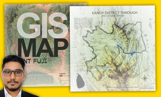
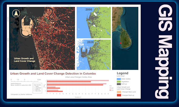
Working as a GIS Analyst specializing in Research & Development, GIS/Remote Sensing training, and promoting Esri's latest geospatial technologies. My core project experience includes UAV and satellite image processing, deep learning (DL) and machine learning (ML) for remote sensing, GeoAl applications, and workflow automation using Python. I also develop Web GIS solutions using ArcGIS Online, Dashboards, and Web Apps, and have hands-on experience with ArcGIS Utility Network, CAD-GIS integration, and enterprise-level GIS projects. I am passionate about applying spatial technologies to solve real-world problems, combining strong analytical skills with innovative thinking to deliver end-to-end geospatial solutions.
Associate GIS Analyst
Sep 2024 - Mar 2025 • 6 mos
Working as a GIS Analyst specializing in Research & Development, GIS/Remote Sensing training, and promoting Esri’s latest geospatial technologies. My core project experience includes UAV and satellite image processing, deep learning (DL) and machine learning (ML) for remote sensing, GeoAI applications, and workflow automation using Python. I also develop Web GIS solutions using ArcGIS Online, Dashboards, and Web Apps, and have hands-on experience with ArcGIS Utility Network, CAD-GIS integration, and enterprise-level GIS projects. I am passionate about applying spatial technologies to solve real-world problems, combining strong analytical skills with innovative thinking to deliver end-to-end geospatial solutions.
