Sfoglia categorie
Esplora
Fiverr Pro
Italiano
$
USD

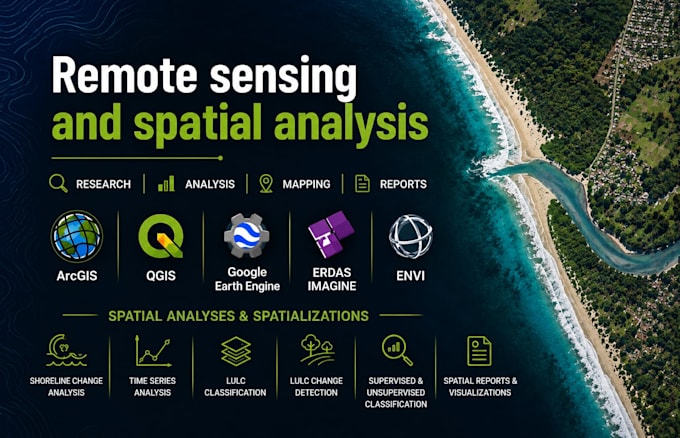
I provide professional GIS and Remote Sensing services
Competenze
Consulta i miei servizi

CSIR - National Institute of Oceanography
Full time • 5 yrs 2 mos
Senior Project Associate
Aug 2026 - Present • 2 mos
1. Geomorphology & Process Analysis: Conducting advanced research on coastal geomorphological evolution, shoreline dynamics, sediment transport, and coastal hazards by integrating remote sensing, GIS, field observations, and oceanographic datasets. 2. Geospatial Analysis & Coastal Monitoring: Designing and implementing multi-temporal geospatial analyses using satellite imagery, DEMs, UAV data (where applicable), and GIS techniques for monitoring shoreline change, coastal landforms, and morphodynamic processes. 3. Spatial Data Management: Developing and managing geospatial databases, performing quality assurance, spatial analyses, and process-based interpretation to support coastal engineering, environmental management, and scientific investigations. 4. Research Project Execution & Technical Coordination: Supporting the planning, execution, and reporting of multidisciplinary research projects through technical coordination, data integration, progress monitoring, and preparation of technical deliverables. 5. Scientific Communication & Collaboration: Preparing high-quality technical reports, peer-reviewed publications, project documentation, and conference presentations while collaborating with interdisciplinary research teams and external stakeholders.
Senior Research Fellow
Aug 2023 - Aug 2026 • 3 yrs
1. Morphodynamic Analysis: Integrated remote sensing, GIS, and oceanographic datasets to investigate the influence of waves, tides, and sea-level rise on coastal morphology along the central west coast of India. 2. Geospatial Mapping & Monitoring: Executed multi-temporal satellite data analyses for mapping and monitoring coastal geomorphology, shoreline dynamics, and sedimentary landforms using advanced GIS and remote sensing techniques. 3. Data Management & Visualisation: Developed and maintained spatial databases, performed data quality control, and generated thematic maps and graphical outputs for technical reports and research dissemination. 4. Scientific Writing & Publication: Contributed to manuscript preparation, publication in peer-reviewed journals, and presentation of research outcomes at scientific conferences and workshops. 5. Project Execution & Collaboration: Supported the execution of research projects through effective coordination, data compilation, and preparation of technical documentation in collaboration with interdisciplinary teams
Junior Research Fellow
Aug 2021 - Aug 2023 • 2 yrs
1. Geospatial Data Processing: Acquired and pre-processed multi-source satellite datasets (Landsat, Sentinel, Resourcesat) for baseline mapping and geomorphic classification of coastal environments. 2. Topographic & Bathymetric Analysis: Utilised DEMs, tidal data, and coastal profiles to evaluate elevation dynamics, sediment transport pathways, and nearshore morphological adjustments. 3. Field Data Acquisition & Integration: Assisted in ground-truthing, beach profiling, and in-situ data collection, integrating field observations with remotely sensed data for validation and accuracy assessment. 4. Spatial Statistics & Temporal Analysis: Implemented geospatial and statistical tools to analyse coastal change drivers, identify geomorphic hotspots, and model coastal response to natural and anthropogenic influences
| (1) | ||
| (0) | ||
| (0) | ||
| (0) | ||
| (0) |
reejahashmi

Pakistan
Great experience overall! Very professional, efficient, and easy to work with. I'll certainly be reaching out to him for future work. Highly recommended
2 settimane
Tempo
Geographic Information Systems (GIS)