Sfoglia categorie
Italiano
$
USD
Connettiti alla tua IA

Level 1

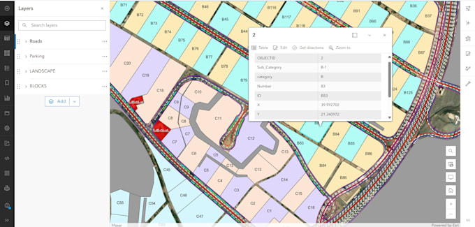
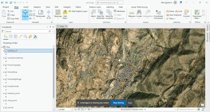
Welcome to your professional GIS & Cartography hub!
Do you have raw data that needs to be visualized? Or a paper map that needs to be digitized? I am here to help you transform complex spatial data into clear, beautiful, and informative maps.
What I can do for you:
Tools I Use:
Level 1
Lingue
What do you need from me to start?
I need your source data (Excel, GPS points) or the map image/PDF you want to digitize, along with any specific instructions.
Which GIS software do you use?
I work professionally with both ArcGIS and QGIS, depending on your project requirements.
Can you convert data formats (e.g., KML to Shapefile)?
Yes, I can convert between all major formats like Shapefile, KML, GeoJSON, CSV, and CAD (.dwg).
Do you offer spatial analysis or just drawing?
I offer both. I can digitize maps and also perform spatial analysis like buffering, heatmaps, and site suitability.
Is the final map ready for print?
Yes, I provide high-resolution (300 DPI) maps in PDF or Image formats, including a legend, scale, and north arrow.