Sfoglia categorie
Esplora
Fiverr Pro
Italiano
$
USD
GIS and Remote Sensing Analyst
Competenze
Consulta i miei servizi

GIS Assistant
Cargill, Incorporated • Full time
Apr 2014 - Jul 2022 • 8 yrs 3 mos
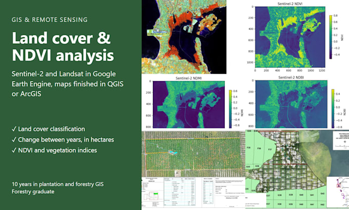
GIS work for five oil palm companies in West Kalimantan, Indonesia. - Ran RSPO Land Use Change Analysis for four companies, mapping land cover across 2006 to 2019. - Rebuilt the planted-area and infrastructure database for 45,000 ha from WorldView satellite imagery and drone orthophotos. - Ran a palm tree census over 25,000 ha from WorldView and drone imagery. - Flew drone surveys over 60,000+ ha: planted areas, low-yield blocks, HCV areas, flooding and burned areas. - Prepared maps and spatial data for RSPO, ISPO, HCV and High Carbon Stock audits. - Remapped peat soil, ran watershed analysis for flooded areas and made water zone maps. - Checked cooperation agreement maps against field results to prevent double payments.
