Alcune informazioni sono riportate in lingua inglese.
Chi sono
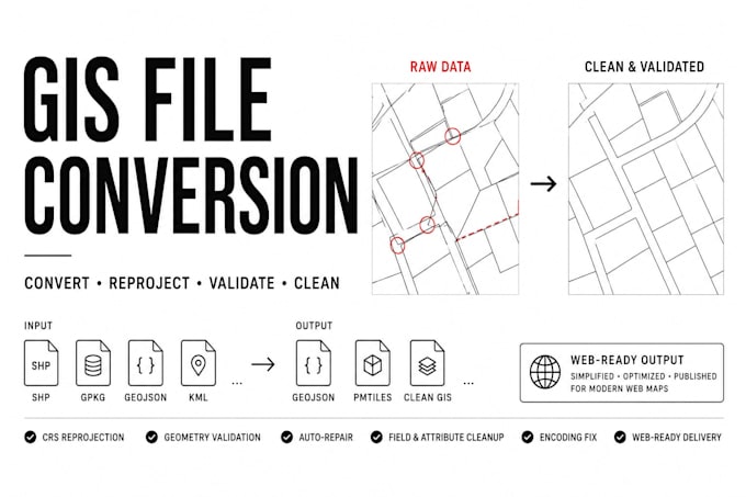
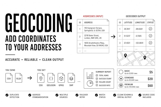
I build geospatial data solutions in PostGIS and Python: format conversions and geocoding pipelines for clients who need clean, validated spatial data.
My most recent project, CanPermits, consolidated 38 Canadian municipal data sources into a single PostgreSQL database with spatial resolution across millions of records, running unattended on a daily schedule. I know how spatial data breaks in production and how to fix it.
I work in code, not GUI tools. Every delivery comes with clean output, a validation report, and a plain-English explanation of what was done.... Continua a leggere