Sfoglia categorie
Esplora
Fiverr Pro
Italiano
$
USD

Water Resources Expert HECHMS, HECRAS, QGIS, ARCGIS, Python and GEE
Competenze
Consulta i miei servizi

Design Engineer (Hydrologist)
Creative Engineering Consultants (Pvt.) • Full time
Jan 2026 - Present • 9 mos
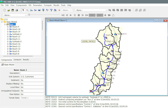
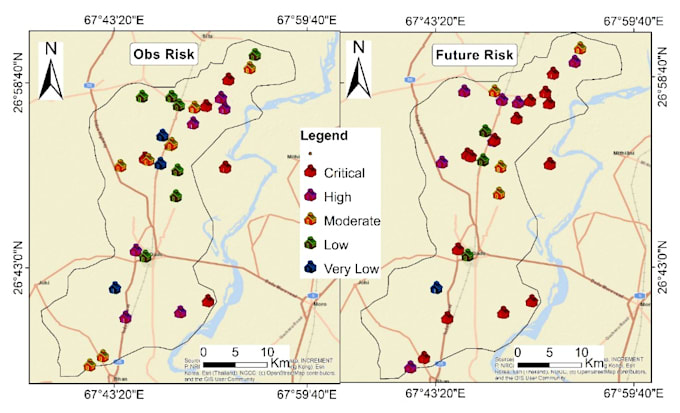
I work as a Design Engineer (Hydrologist), specializing in hydrological and hydraulic modeling, flood assessment, and climate-informed water resources analysis. My responsibilities include rainfall–runoff and watershed modeling using HEC-HMS and SWAT, as well as 1D/2D hydraulic modeling using HEC-RAS for flood inundation assessment. I perform GIS-based watershed and terrain analysis and prepare hydrological and hydraulic model inputs for engineering studies. I also work with CMIP6 climate projections, GIS, remote sensing, Google Earth Engine, and climate datasets to support climate risk and flood hazard assessments. My work includes multi-hazard climate risk assessment covering flood, drought, landslide, and wind hazards, with integration of hazard, exposure, and vulnerability information for water infrastructure and climate adaptation planning.

University of Engineering & Technology Peshawar
Full time • 5 mos
Junior Engineer — Climate Change Adaptation
Oct 2025 - Dec 2025 • 2 mos
Worked as a Junior Engineer (Climate Change Adaptation) on water infrastructure and flood-risk assessment activities in flood-affected areas of Pakistan. Conducted hydrological and hydraulic assessments using HEC-HMS, HEC-SSP, and HEC-RAS, supported by GIS analysis and GPS field surveys. Performed GIS-based flood-risk mapping and hydrological assessment to support the rehabilitation and climate-resilient planning of water supply schemes. The work involved analyzing flood hazards, assessing infrastructure vulnerability, processing spatial and field-survey data, and supporting engineering decisions for the rehabilitation of water supply systems in flood-affected areas.
Junior Infrastructure Engineer —
Jun 2025 - Sep 2025 • 3 mos
Worked as a Junior Infrastructure Engineer on climate profiling, hydroclimatic assessment, and climate-risk analysis for infrastructure planning. Conducted district-wise climate profiling and hydroclimatic assessments across 12 districts using historical and projected precipitation, maximum temperature, minimum temperature, and streamflow datasets to evaluate climate variability and future extreme events. Performed hydrological modeling using HEC-HMS and applied machine learning and deep learning techniques to analyze floods, droughts, heatwaves, and broader climate-related risks. The work supported climate adaptation planning and infrastructure resilience through data-driven hydroclimatic assessment.
