Alcune informazioni sono riportate in lingua inglese.
Schermo intero
Schermo intero
Informazioni su questo servizio
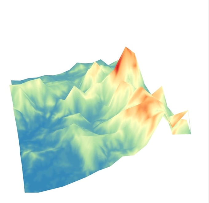
I create a map using different GIS tools like QGIS, Global Mapper and Corel Draw. The layers of the different map like elevation data for 3D map, NDVI data for Vegetation Map, Population Data for there themes and etc. Geographically tagged data can be very easily plotted and overlayed on a base map. You have to tell me types of the different base map and geographically tagged data as per your requirement.
Stile
Disegno tecnico
Oggetto
Paesaggi
Preferenza per lo stile di consegna
Informa il freelance di eventuali preferenze o preoccupazioni relative all'uso di strumenti di IA nel completamento e/o nella consegna dell'ordine.
Scopri di più su shalu715
shalu715
DaIndia
Membro damag 2020
Lingue
Inglese
Basically I am an early-career research scholar working in the field of Earth and Planterory Sciences. I have an excellence in designing the graphical layout, brochure, logo and poster items. Till date, I have immense experience in different scientific platforms, data handling like proficiency in Excel, Access, Powerpoint and Oracle based programs. Hope fully will get an opportunity to explore in another platform.