Alcune informazioni sono riportate in lingua inglese.
Chi sono
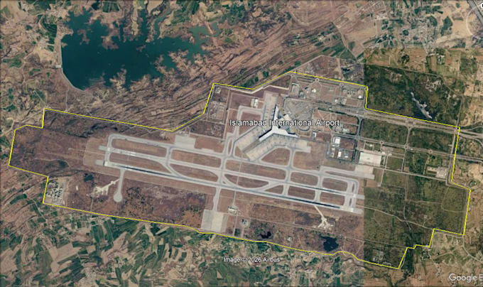
"Hi! I am a GIS mapper and satellite imagery analyst. I specialize in boundary mapping, feature digitizing, and tracing building footprints and roads using Google Earth Pro and OpenStreetMap.
I focus on clear work, accuracy, and fast delivery.
Feel free to send me a message to talk about your project!"... Continua a leggere