Alcune informazioni sono riportate in lingua inglese.
Chi sono
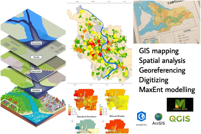
I’m a GIS Analyst and Surveying Science undergraduate with a strong background in GIS, Remote Sensing, and Spatial Data Analysis. I specialize in GIS mapping, spatial analysis, satellite image interpretation, land use/land cover mapping, environmental and hazard mapping, data digitizing, georeferencing, and professional map design. I have hands-on experience with ArcGIS Pro, ArcMap, QGIS, Google Earth Pro, ERDAS Imagine, R, and Python, and I ensure clear communication, timely delivery, and high-quality results.... Continua a leggere