s
sohailqasim418

Sohail

@sohailqasim418

GIS, Remote Sensing and GeoAI Specialist, PhD Researcher

Pakistan
Inglese, Urdu, Francese, Turco, Arabo
Alcune informazioni sono riportate in lingua inglese.
Chi sono
GIS, Remote Sensing and Disaster Risk professional with 5+ years of experience in spatial analysis, multi-hazard assessment and decision-support. Currently pursuing a PhD in GIS and Remote Sensing, I contribute to national disaster-risk work in Pakistan. Services: • GIS mapping, spatial analysis and cartography • Google Earth Engine and satellite processing • Flood, landslide, GLOF and multi-hazard assessment • Web GIS portals and interactive dashboards • Python automation, GeoAI and spatial modelling I deliver accurate, documented and decision-ready work with clear communication.... Continua a leggere

Competenze

s
sohailqasim418
Sohail
offline • 
Tempo di risposta medio: 1 ora

Consulta i miei servizi

Geographic Information Systems (GIS)
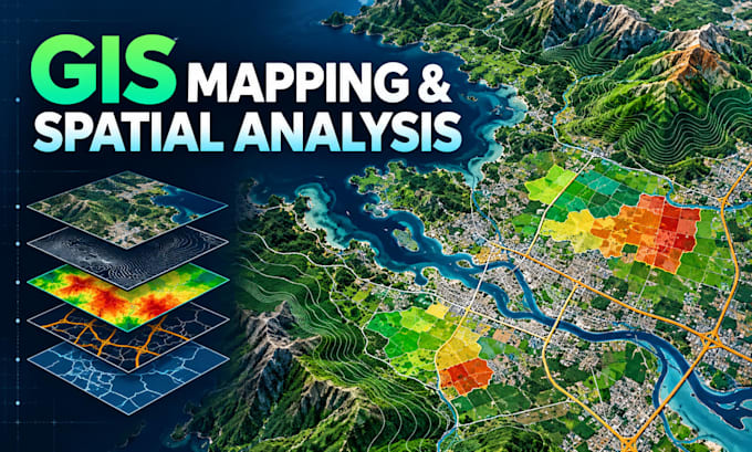
I will create professional gis maps, spatial analysis and digitization
Programmazione e tecnologia
I will develop google earth engine scripts for satellite analysis

Portfolio

Esperienza lavorativa

Assistant Manager Multi-Hazard Modeller

Company • Full time

Feb 2021 - Present • 5 yrs 9 mos

Multi-Hazard Modeller