Sfoglia categorie
Esplora
Fiverr Pro
Italiano
$
USD

Hello,
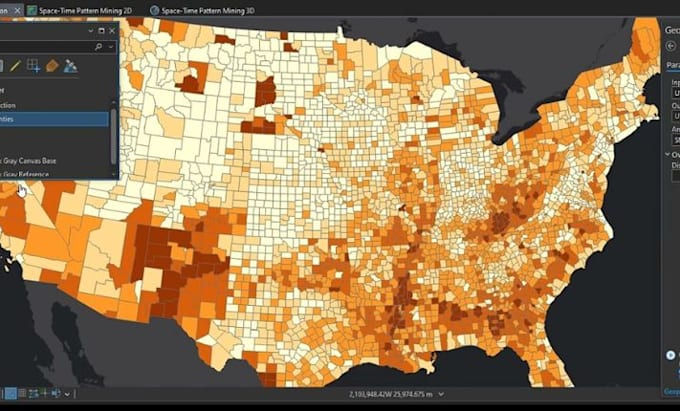
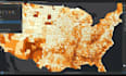
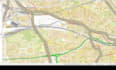
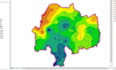
If you're looking for accurate, high-quality GIS mapping and spatial analysis, you're in the right place. I offer professional services using industry-leading tools like ArcGIS Pro and QGIS to deliver powerful geospatial insights tailored to your needs.
With strong expertise in GIS, ArcGIS, QGIS, GIS mapping, spatial analysis, remote sensing, and cartography, I transform complex spatial data into clear, actionable maps and visualizations. Whether its georeferencing, digitizing, NDVI, LULC, topographic mapping, or geospatial analysis, I ensure precision and professionalism in every project.
What you will get:
I focus on delivering accurate geospatial, GIS analysis, and mapping solutions that meet industry standards and exceed expectations.
Lets bring your spatial data to life!
Creative Architect, Precise Plans, Stunning Designs, Fast Delivery
Lingue