u
udaysm

Uday Munda

@udaysm
4,7(1)

GIS and Remote Sensing Analyst

India
Alcune informazioni sono riportate in lingua inglese.
Chi sono
I am a GIS & Remote Sensing Analyst specializing in geospatial analysis, satellite image processing, and professional map design. I provide LULC mapping, Land Surface Temperature (LST) analysis, urban heat mapping, watershed delineation, terrain analysis, georeferencing, digitization, and spatial analysis. I work with ArcGIS, QGIS, ERDAS IMAGINE, R, Python, and Excel to create accurate, clear, and visually appealing maps. I focus on quality, attention to detail, and client satisfaction. Let’s discuss your GIS project!... Continua a leggere

Competenze

u
udaysm
Uday Munda
offline • 

Consulta i miei servizi

Geographic Information Systems (GIS)
I will do gis analysis, lulc, geoprocessing, image classification
4,7(1)
Formattazione dati
I will do data entry, data cleaning, excel, data excel work

Portfolio

1 Recensioni
4,7

(1)
(0)
(0)
(0)
(0)
Valutazione dettagliata
  • Livello di comunicazione del venditore
    4
  • Qualità della consegna
    5
  • Valore della consegna
    5
1-1 di 1 recensioni
Ordina per
Più rilevante
    T
    image-docs

    tharun_ravi

    IN

    India

    4,7

    Really provided the exact work that was requested. Happy to collaborate once again in the future.
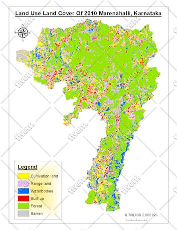
    Immagine del campione di lavoro
    Utile?
    Sì
    No