Aerial Survey Engineer, UAV Photogrammetry and LiDAR Specialist
Pakistan
Inglese, Urdu
Alcune informazioni sono riportate in lingua inglese.
Chi sono
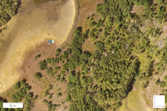
Civil Engineer specializing in UAV Surveying, Photogrammetry, LiDAR, and Geospatial Data Processing for civil infrastructure. Experienced across the full workflow: UAV data acquisition, RTK/GCP/non-GCP processing, and delivery of orthomosaics, DEMs, DSMs, DTMs, contour maps, point clouds, and planimetrics for roads, canals, water treatment plants, river corridors, landfills, and parks. Skilled in Civil 3D CAD deliverables (surfaces, alignments, profiles, cross-sections), volumetric analysis, QA/QC, and multispectral processing. Turning spatial data into actionable engineering insights.... Continua a leggere