Sfoglia categorie
Esplora
Fiverr Pro
Italiano
$
USD


Traduzione automatica.
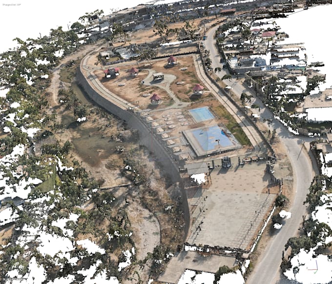
Hai immagini raw del drone ma nessun modo di trasformarle in dati geospaziali utilizzabili? Elaborerò le tue foto drone in Agisoft Metashape e consegnerò output di livello professionale pronti per lavori di ingegneria, GIS o design.
Con oltre 5 anni di esperienza nel processamento fotogrammetrico su progetti di infrastrutture finanziati da ADB e Banca Mondiale, che coprono aree da 250 a 62.500 acri, so come ottenere risultati puliti e precisi dai tuoi dati.
Cosa mi invii: Immagini raw del drone (JPG/TIFF) + eventuali coordinate GCP se disponibili
Cosa ricevi: ortomosaico georeferenziato, DEM/DSM/DTM, point cloud classificata (LAS), mappe di contorno e un rapporto di elaborazione
Aerial Survey Engineer, UAV Photogrammetry and LiDAR Specialist
Lingue
Traduzione automatica.
Traduzione automatica.
Quali formati di immagine accetti?
JPG e TIFF. Le immagini devono essere scattate con almeno il 70% di sovrapposizione frontale e il 60% di sovrapposizione laterale per i migliori risultati.
Ho bisogno di GCP?
Non è obbligatorio. Se il tuo drone ha RTK/PPK, i GCP non sono necessari. Se hai le coordinate GCP, le integrerò per una maggiore precisione assoluta.
Quale sistema di coordinate useranno gli output?
Adatterò qualsiasi sistema tu specifichi (WGS84, UTM, locale). Basta che mi comunichi il CRS del progetto in anticipo.