Sfoglia categorie
Italiano
$
USD
Connettiti alla tua IA

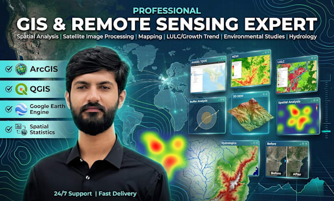
GIS Expert, Remote Sensing, Spatial Analysis, ArcGIS, QGIS, Python, Map Design
Competenze
Consulta i miei servizi

Remote Sensing and GIS Analyst
Sheher Saaz Private Limited • Full time
Aug 2024 - Present • 2 yrs 3 mos
As a GIS and Remote Sensing Analyst, My core Resposibilty includes a Wide Range of analysis that can be useful in Urban and Master Planning of Cities, those may be in Vector Data or Satellite Imagery to support urban planning. Different analysis include accessibility and network analysis, Landsuitability analysis, Urban Sprawl and Change detection analysis etc. Combining all these with cartography I deliver Master Plan, Thematic, and Various Remote Sensing Maps that are easily understandable.
| (6) | ||
| (0) | ||
| (0) | ||
| (0) | ||
| (0) |

lollo0000

Italia
Fast delivery and outstanding professionalism throughout the entire process. The service was excellent, communication was smooth, and everything was handled with great care and attention to detail. Highly recommended!
2 giorni
Tempo
Geographic Information Systems (GIS)
ahalim599

Algeria
Waleed is a professional who is always attentive to the smallest detail. I will work with him again and highly recommend him.
8 giorni
Tempo
Geographic Information Systems (GIS)
Risposta del venditore
ryzecube

Singapore
asad_farooqi12

Regno Unito
It's my second order with Waleed and he knows exactly what works. Will hire him again in future
3 giorni
Tempo
Geographic Information Systems (GIS)
Risposta del venditore
clientteach

Pakistan
He is soo professional , willing to hire him again and again
6 giorni
Tempo
Geographic Information Systems (GIS)
Risposta del venditore