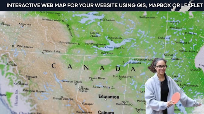
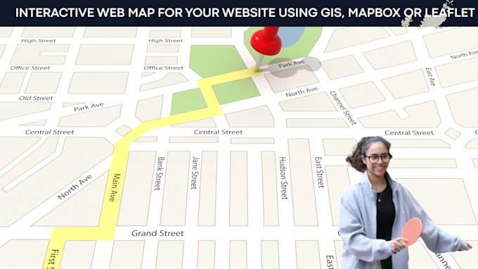
I will build an interactive web map for your website using gis, mapbox or leaflet

W
wallaby_yern
W
wallaby_yern
wallaby yern
Alcune informazioni sono riportate in lingua inglese.

Informazioni su questo servizio

Need a professional interactive map for your website or application? I build custom Web GIS solutions that visualize your location data with modern, responsive, and user-friendly maps.

Services

  • Interactive web maps
  • Mapbox and Leaflet development
  • ArcGIS Web Maps
  • Custom GIS visualizations
  • Clickable markers and popups
  • Layer controls and custom styling
  • Category filtering
  • Store locator and branch maps
  • Property and real estate maps
  • Service coverage and project area maps
  • Data-driven mapping dashboards
  • GIS data integration

Technology

  • Mapbox
  • Leaflet
  • ArcGIS
  • JavaScript
  • GeoJSON
  • PostGIS (if required)

Deliverables

  • Responsive interactive web map
  • Custom map styling
  • GIS data configuration
  • Clean, maintainable code
  • Deployment support

Please contact me before placing an order to discuss your project requirements, data sources, and desired functionality.

Scopri di più su wallaby yern

wallaby yern

GIS and Remote Sensing Specialist

  • DaStati Uniti
  • Membro damag 2026
  • Lingue

    Inglese
I am a GIS & Remote Sensing Specialist with 9+ years of experience delivering accurate geospatial solutions worldwide. I specialize in GIS mapping, spatial analysis, georeferencing, digitizing, remote sensing, DEM/terrain analysis, hydrology, drone & LiDAR data, web maps, StoryMaps, and PostGIS/SQL. I use ArcGIS, QGIS, Python, PostGIS, and Google Earth to deliver precise results for reporting, research, and decision-making.

Tag correlati