Sfoglia categorie
Italiano
$
USD
Connettiti alla tua IA

GIS and remote sensing specialist
Competenze
Consulta i miei servizi

Freelance GIS & Remote Sensing Specialist
Fiverr • Freelance
Jan 2020 - Present • 6 yrs 10 mos
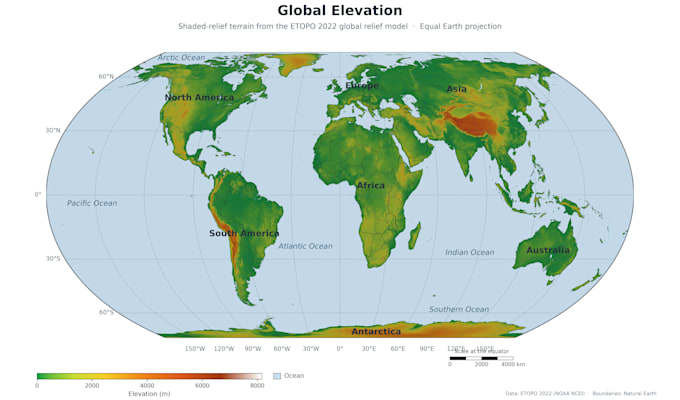
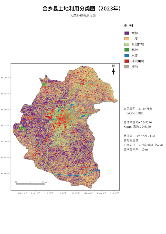
Provides professional GIS and remote sensing services, specializing in turning satellite imagery into publication-quality maps. Responsibilities include land use/land cover classification using Sentinel-2 and Landsat, NDVI mapping, change detection, and DEM terrain analysis. Delivers print-ready 300 DPI maps with documented methods and source data for academic papers, theses, and project reports. Expertise includes hyperspectral workflows, spatial data cleaning, and multi-date comparison analysis.
