g
geospatial_engr

Geospatial

@geospatial_engr
4,9(60)

Level 2

Pro Experts in GIS, Mapping, 3D Models, Drones, and Civil Engineering

Pakistan
Inglese
Alcune informazioni sono riportate in lingua inglese.
Chi sono
I offer professional services in GIS, mapping, geospatial analysis, 3D modeling, land surveying, topographic contours, digital elevation models, drone photogrammetry, flood modeling, and civil engineering services, including site plans and design. From satellite image analysis to Google Earth flythroughs, interactive web map applications, and CAD drawings, we deliver customized solutions, for large-scale projects and individual property needs. I am committed to accuracy, fast delivery, and client satisfaction. Feel free to inbox before placing your order!... Continua a leggere

Competenze

g
geospatial_engr
Geospatial
30 USD/ora
offline • 
Tempo di risposta medio: 1 ora

Consulta i miei servizi

Geographic Information Systems (GIS)
I will create accurate digital elevation models, dem, dsm, dtm, contours, and gis maps
4,9(16)
Disegno 2D e planimetrie
I will create contour map and topographic plan using survey or gis data
4,8(16)

Vuoi lavorare su base oraria?

Spiega a Geospatial cosa ti serve.

30 USD

/

ora

Portfolio

60 Recensioni
4,9

(56)
(4)
(0)
(0)
(0)
Valutazione dettagliata
  • Livello di comunicazione del venditore
    4,9
  • Qualità della consegna
    4,8
  • Valore della consegna
    4,8
1-5 di 60 recensioni
Ordina per
Più rilevante
    B

    bleblanc03

    US

    Stati Uniti

    5

    Great to work with. Delivered nice assets for my project. I would not hesitate to reach out again if/when I need more work at this level.

    400 USD-600 USD

    Prezzo

    3 settimane

    Tempo

    gig

    Geographic Information Systems (GIS)

    Immagine del campione di lavoro
    Utile?
    No
    L
    image-docs

    lynntaylor

    US

    Stati Uniti

    4

    Thank you!!!!!!!!!!!!!!!!!!!!!

    50 USD-100 USD

    Prezzo

    5 giorni

    Tempo

    gig

    Disegno 2D e planimetrie

    Utile?
    No
    J

    jebjeb2000

    US

    Stati Uniti

    4,3

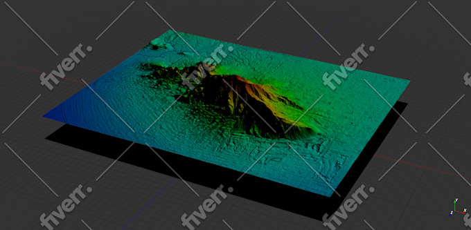
    I needed a model of a mountain for architectural rendering. Geospatial provided a highly detailed file that was actually far too large for my program to handle. Geospatial followed up with several options of smaller size, and I was able to use the edits. They were communicative in adjusting the parameters to fit what I needed. Thank you!

    100 USD-200 USD

    Prezzo

    2 settimane

    Tempo

    gig

    Geographic Information Systems (GIS)

    Immagine del campione di lavoro
    Utile?
    No
    J

    jasonwarner845

    Cliente abituale

    CR

    Costa Rica

    5

    Thank you once again.

    50 USD-100 USD

    Prezzo

    4 giorni

    Tempo

    gig

    Geographic Information Systems (GIS)

    Utile?
    No
    J

    jasonwarner845

    Cliente abituale

    CR

    Costa Rica

    5

    Thank you once again.

    Fino a 50 USD

    Prezzo

    6 giorni

    Tempo

    gig

    Geographic Information Systems (GIS)

    Utile?
    No